

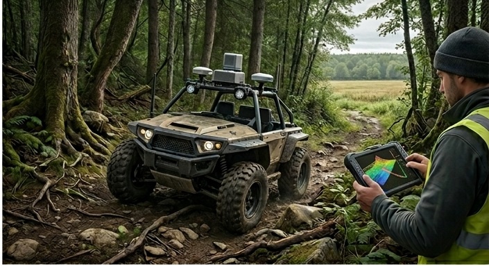
Navigation & Smart Mobility
Next-generation high-definition mapping, ADAS-ready spatial datasets, and indoor positioning systems—connecting smart vehicles and logistics grids to the physical world.
Navigation & smart mobility
Precision navigation for the autonomous age
From advanced driver-assistance systems (ADAS) mapping to logistics routing optimization—providing the underlying spatial fabric for autonomous mobility.
Spatial Flytech designs high-fidelity, vector-based road network models, lane-level mapping solutions, and indoor navigation frameworks that keep operations moving safely.
We support smart cities, logistics providers, and autonomous hardware developers in designing robust routing networks, geofencing parameters, and localization APIs.
Contact usNavigation & smart mobility
HD Mapping, ADAS Data & Indoor Guidance
Explore our range of solutions that build the connection between digital models and real-time guidance engines.
High-Definition Mapping
- ●3D Lane Vectors: High-precision coordinates of road marks.
- ●Road Boundary Maps: Detailed vector layouts of sidewalks, curbs.
- ●Intersection Modeling: Precise spatial layouts of complex junctions.
ADAS Map Content
- ●Speed Limit Database: Geo-tagged speed limit layers.
- ●Slope & Curvature: Geometry parameters for automated speed control.
- ●Traffic Sign Registers: Standard databases of warning indicators.
Indoor Navigation
- ●IPS Integration: BLE beacon and Wi-Fi fingerprinting networks.
- ●Indoor Vector Maps: Multi-floor vector maps for large warehouses, airports.
- ●Wayfinding Algorithms: Smart indoor routing parameters.
Fleet & Logistics Routing
- ●Pathfinding APIs: High-speed route optimization parameters.
- ●Dynamic Traffic Integration: Real-time delays processing algorithms.
- ●Multi-Modal Logistics: Seamless transitions from road to rail.
Geofencing & Mobility
- ●Virtual Geofences: Highly scalable real-time zone boundary systems.
- ●Micro-Mobility Support: Virtual docks and speed restrictions zones.
- ●Security Alerts: Instant notifications for geo-boundary violations.
SLAM & Localization
- ●LiDAR SLAM: Robust real-time localization arrays for hardware platforms.
- ●Visual Localization: Camera-based spatial anchor positioning.
- ●Sensor Fusion: IMU, GPS, and optical guidance alignment algorithms.
What you can expect
End-to-End Mapping
- ● Mobile LiDAR sensor capture
- ● Centimeter lane boundary vectors
- ● Structured point-cloud processing
Hardware Agnostic APIs
- ● Standard OpenDrive support
- ● NDS (Navigation Data Standard) format
- ● Secure JSON routing endpoint APIs
Dynamic Updates
- ● OTA (Over-The-Air) data sync
- ● Sub-second routing recalculation
- ● Secure encrypted delta updates
Ready to integrate smart mobility systems?
Discuss your autonomous driving maps, indoor warehousing positioning, or logistics geofencing with our technical team today.