AGRICULTURE & FORESTRY
Precision agriculture and environmental intelligence ecosystems enabling smart farming, plantation analytics, forest monitoring, and sustainable resource management through connected geospatial technologies.
GeoAI, Drone & Smart Environmental Intelligence Ecosystem
Integrated GeoAI, Drone, IoT, GIS, and remote sensing ecosystems supporting agriculture enterprises, plantations, forestry operations, environmental agencies, and land management programs through connected intelligence and real-time spatial analytics environments.
Connected Agricultural & Ecosystem Intelligence
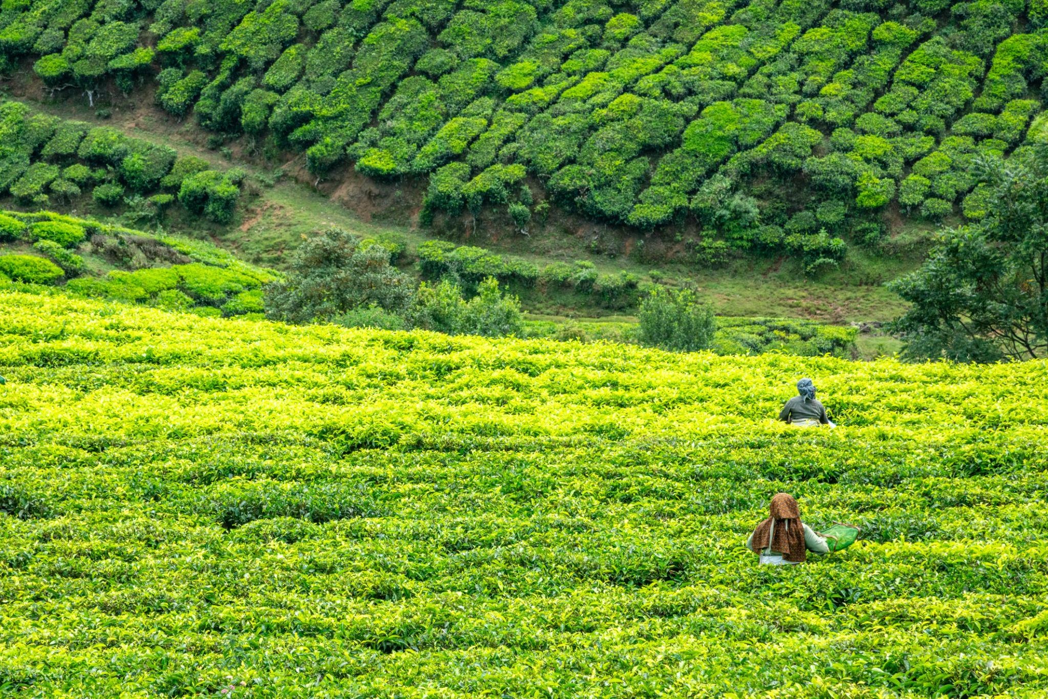
Connected operational workflows enabling crop intelligence, vegetation analysis, soil monitoring, plantation management, environmental assessment, and ecosystem analytics through real-time geospatial intelligence, GeoAI-driven analytics, and aerial monitoring environments.
GeoAI Intelligence
Smart environmental analytics
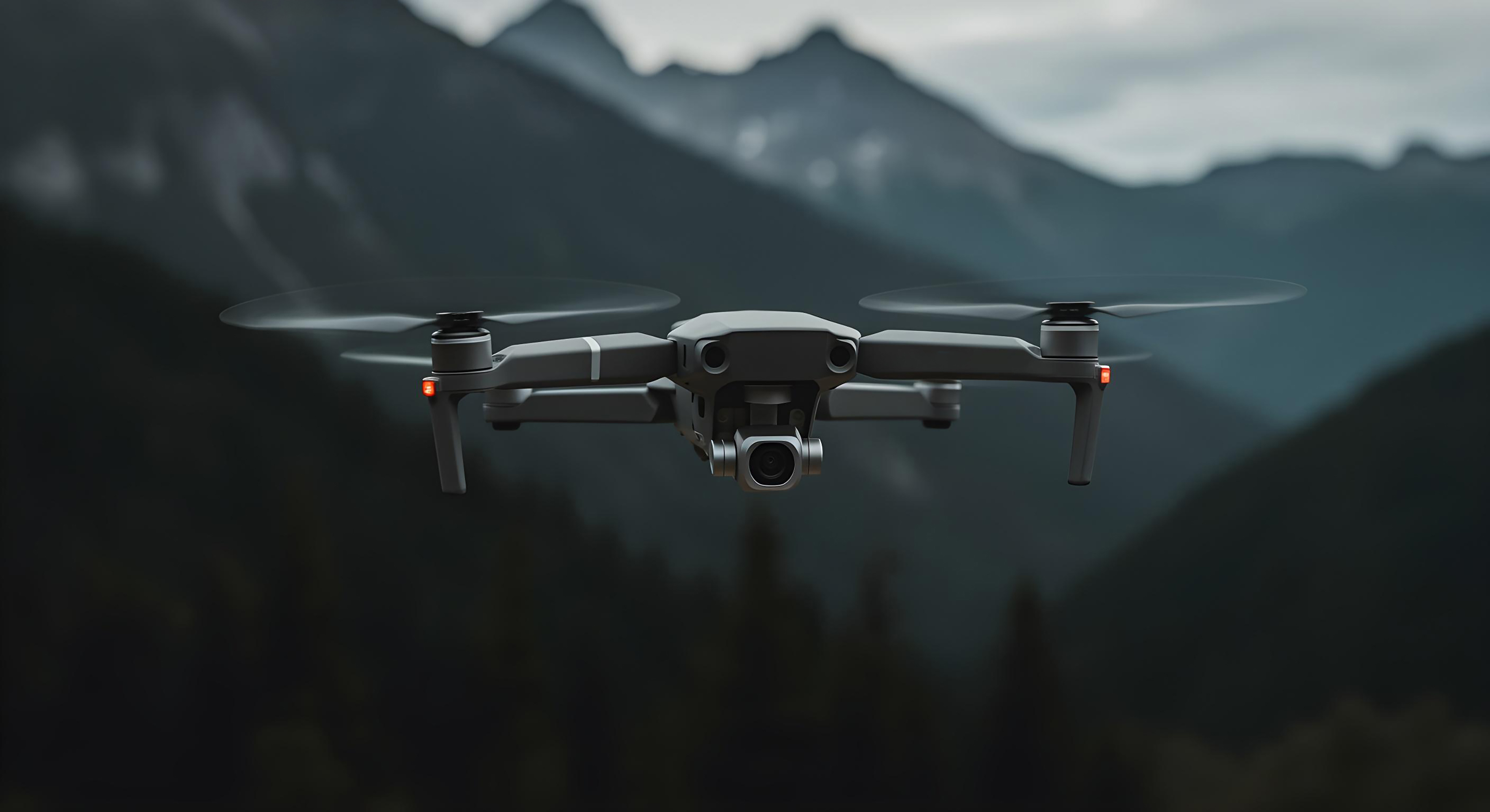
Drone Monitoring
Real-time crop visibility systems
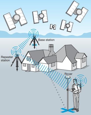
Spatial Analytics
Connected land intelligence workflows
Precision Agriculture & GeoAI Intelligence
AI-driven agricultural intelligence ecosystems supporting crop monitoring, vegetation analysis, environmental visibility, and connected operational monitoring workflows.
Plantation & Forestry Monitoring
Connected plantation and forest intelligence ecosystems
GeoAI & Spatial Analytics
Environmental assessment and land-use intelligence
Drone Agricultural Intelligence
Aerial crop monitoring and operational visibility
Environmental Monitoring
Integrated ecosystem intelligence supporting sustainability analysis, environmental monitoring, and connected operational visibility systems.
Resource Optimization
Data-driven operational ecosystems improving agricultural productivity, sustainability, and intelligent resource utilization.
Business Outcomes
Improved Agricultural Productivity
Precision farming and operational optimization
Enhanced Environmental Visibility
Real-time ecosystem intelligence workflows
Better Resource Utilization
Sustainable land and resource management
Faster Operational Intelligence
GeoAI-driven decision-making acceleration
Agricultural & Environmental Intelligence Deliverables
Enterprise-ready GeoAI, environmental monitoring, precision agriculture, and connected ecosystem intelligence deliverables supporting sustainable operational transformation.
Ready to optimize your crop yields?
Discuss multispectral mapping sweeps, variable spraying schedules, or precision crop health pipelines with our agronomists today.