Field Survey & Infrastructure Intelligence
Integrated field survey ecosystems combining GIS, mobile data collection, drone intelligence, IoT integration, and spatial analytics for accurate infrastructure documentation and decision support.
Infrastructure Staking
Enterprise Field Intelligence Ecosystem
Structured field survey and infrastructure intelligence workflows designed to support asset digitization, utility mapping, infrastructure verification, corridor surveys, and operational data acquisition across large-scale environments.
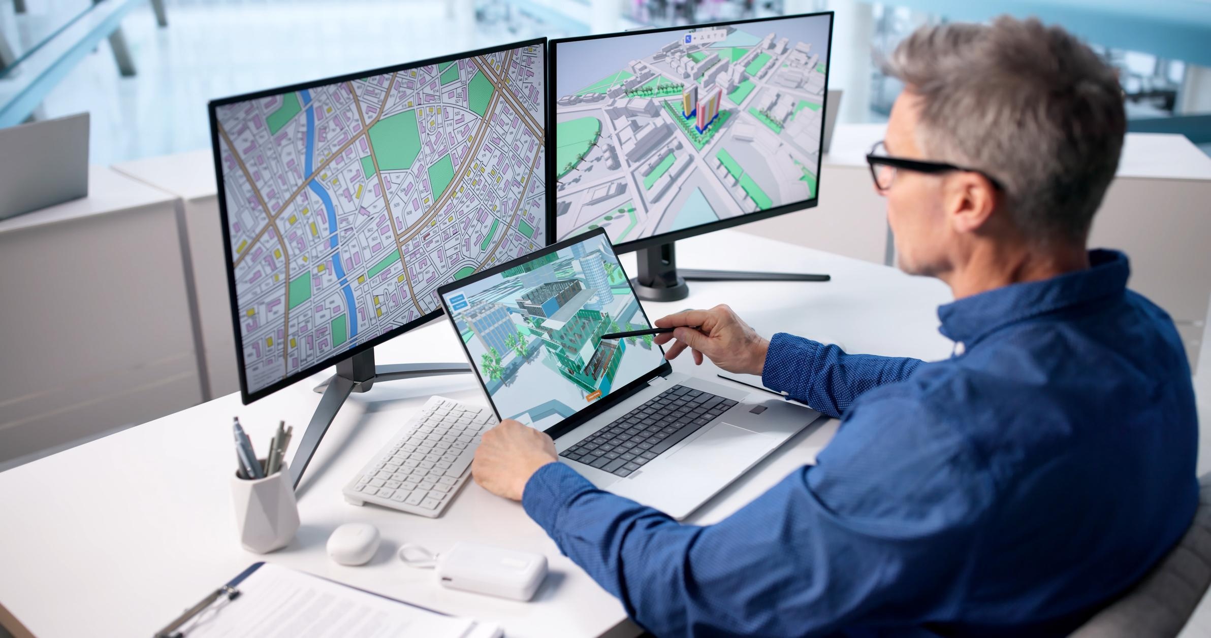
Integrated survey methodologies combining GIS platforms, mobile applications, drone intelligence, spatial analytics, and enterprise reporting systems enable accurate field data collection, validation, and infrastructure visibility.
The solutions support telecom, utilities, transportation, smart cities, industrial infrastructure, agriculture, mining, and government projects through scalable and technology-driven field operations.
Core Field Survey Capabilities
Field Survey, GIS Intelligence & Infrastructure Mapping
Advanced field survey and geospatial intelligence workflows supporting infrastructure verification, utility mapping, enterprise GIS integration, and operational reporting systems.
Infrastructure Asset Survey
Comprehensive field survey workflows enabling accurate asset identification, infrastructure verification, asset tagging, and GIS-based infrastructure documentation.
➤ Key Capabilities
- ● Asset Inventory Survey
- ● Pole & Tower Survey
- ● Utility Asset Documentation
- ● GPS-Based Asset Capture
- ● Asset Condition Assessment
- ● GIS-Integrated Asset Collection
Utility & Network Survey
Technology-driven utility and network survey solutions supporting underground utility mapping, fiber route documentation, and infrastructure intelligence workflows.
➤ Key Capabilities
- ● Underground Utility Survey
- ● Fiber Network Survey
- ● Route Alignment Survey
- ● Utility Corridor Mapping
- ● Cable & Pipeline Documentation
- ● Infrastructure Trace Mapping
Mobile GIS & Digital Data Collection
Mobile GIS-enabled field intelligence systems supporting real-time spatial data collection, geo-tagged documentation, and centralized survey management workflows.
➤ Key Capabilities
- ● Mobile GIS Survey Workflows
- ● Real-Time Field Data Collection
- ● GPS-Based Spatial Capture
- ● Geo-Tagged Asset Documentation
- ● Digital Survey Forms
- ● Cloud-Based Data Synchronization
Engineering & Topographic Survey
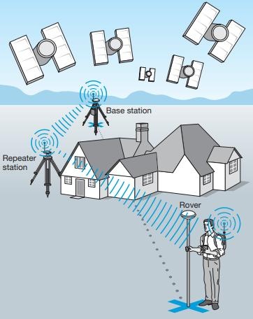
High-accuracy engineering and terrain survey workflows supporting infrastructure planning, contour mapping, route analysis, and land development operations.
➤ Key Capabilities
- ● Topographic Survey
- ● DGPS Survey
- ● Contour Mapping
- ● Engineering Survey
- ● Route & Alignment Survey
- ● Terrain Assessment
Ground Truthing & Validation
Ground validation and verification workflows enabling spatial accuracy assessment, infrastructure verification, GIS correction, and field intelligence quality assurance.
➤ Key Capabilities
- ● Ground Truth Validation
- ● Spatial Accuracy Verification
- ● GIS Validation Workflows
- ● Infrastructure Condition Assessment
- ● Survey QA/QC
- ● Field Intelligence Reporting
Spatial Data Processing & GIS Integration
Structured geospatial processing workflows enabling field data integration, spatial intelligence generation, GIS synchronization, and enterprise-ready infrastructure reporting.
➤ Key Capabilities
- ● GIS Data Processing
- ● Spatial Data Integration
- ● Georeferencing & Validation
- ● Infrastructure Data Management
- ● GIS Database Development
- ● Spatial Intelligence Reporting
Enterprise Reporting & Infrastructure Intelligence
Centralized reporting and infrastructure intelligence systems supporting operational visibility, asset lifecycle monitoring, and enterprise-scale decision support workflows.
➤ Key Capabilities
- ● Infrastructure Asset Reports
- ● Geo-Referenced Deliverables
- ● Web GIS Dashboards
- ● Spatial Intelligence Reports
- ● Interactive Infrastructure Maps
- ● Enterprise Survey Documentation
Ready to verify physical assets precisely?
Discuss your geodetic benchmarks, pipeline staking, and topographic GIS projects with our engineers.